MAPS & VIEWS
PRINTS
BOOKS
back to search results place the mouse over an image to zoom
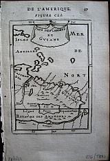
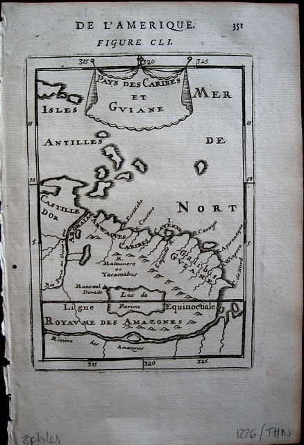
Guyanas.
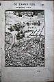
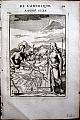
"Guyanas. " "Pays des Caribes et Guine"; "Isle de Cayenne"& "Royaume des Amazones" Paris. Thierry. Denys. 1683Copper engraved map of Guyanas; another map of the Island of Cayenne + small inset map of the Amazon within an illustration of native Amazonians in a landscape, from Mallet's "Description de l'Univers" 1st edition. Text to versos. 3 plates. Dark impression; worm hole [2mm] to inner blank margin.
Allain Manesson Mallet 1630- 1706, French cartographer, engineer and mathematician, served in the army of Louis XIV, and also that of the King of Portugal later becoming Inspector of Fortifications to Louis. He published the "Description de l'Univers" in 1683, attempting to describe the cartography, towns, ports, people, habits and traditions of the known world. The work extended to 5 volumes with some 600 illustrations.
His other works were"Les Travaux de Mars, ou L'art de la Guerre" 1684, and "La geometerie Practique" 1702.
148 by 105mm (5¾ by 4¼ inches) Guyanas. 149x104mm Cayenne; 151x106mm Amazon. ref: 1226 €120
Company: Bryan, Mary Louise.
Address: Ag. Andrianoy 92 , 21 100 Nafplio, Greece.
Vat No: EL 119092581